Design your projects with Carlson
Easy-to-utilize design software combined with your expertise equals quality projects. Check out our product offerings for AutoCAD or IntelliCAD, as well as our very own 3D engine, Precision 3D.
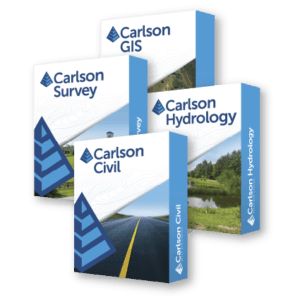
Carlson Software’s Civil Suite
Includes the latest versions of:
- Carlson Survey
- Carlson Civil
- Carlson Hydrology
- Carlson GIS
These four civil-related modular programs, working together, provide the ultimate civil package that will help you dramatically increase your productivity and create better designs.
Carlson Photo Capture Standalone
With Carlson PhotoCapture drone photo processing software, you can use flyover data to:
- Quickly generate interactive 3D maps of sites
- Capture highly accurate 3D site data in point clouds, orthophotos, and more
- Integrate LiDAR data from aerial or ground sources into photogrammetry projects
- Share site maps with customers – anywhere, anytime!
- Save man-hours in the field
Our proprietary technology helps you track and share every metric about your site from anywhere in the world.
Individual Components
Drone
Data Processing
-
Select options This product has multiple variants. The options may be chosen on the product pageView Details
Carlson Point Cloud
$2,000.00 – $6,000.00
Carlson OEM Products –
AutoCAD Embedded
Carlson Specialized Products
Carlson Photo Capture
-
Select options This product has multiple variants. The options may be chosen on the product pageView Details
Carlson Photo Capture Online
$199.00 – $2,995.00 -
Select options This product has multiple variants. The options may be chosen on the product pageView Details
Carlson Photo Capture Standalone
$3,850.00 – $6,050.00

